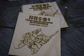
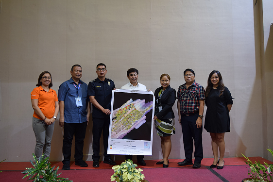
After about two years of intensive research, FireCheck, a Fire Hazard Mapping and Fire Spread Simulation project funded by the Department of Science and Technology—PCIEERD (DOST-PCIEERD), turned over fire hazard and risk maps and evacuation plans to the local government of Lapu-Lapu on January 29, 2020.
BLAZING A TRAIL
FireCheck Project’s systems and technologies were presented and turned over to 19 of Lapu-Lapu City’s mainland barangays, as well as the city’s strategic planners, response units, and policy-makers.
Besides mapping out fire hazards to preemptively stop fires and proactively manage risks, the FireCheck Project also created 3D maps of high-risk communities rendered in a mobile application called “Blaze”, a Waze-like navigation app for firefighters to help facilitate speedy navigation and response around highly congested urban areas. Further, the project also developed fire spread models and simulation which can provide predictive information on the possible extent of the fire and its potential damage. The fire spread simulation model will aid firefighters in determining the best course of action should a fire disaster unfold, therefore, giving them a distinct advantage. All the mentioned technologies were also turned over to the city’s fire district.
The innovations born out of the proactive initiative of experts from the University of the Philippines Cebu are first of their kind and were developed through close collaboration with the city’s fire district (BFP- Lapu-Lapu), planning and development office (CPDO), and disaster risk reduction and management office (LDRRMO).
Information from the said maps, models, and simulations were used to improve if not create pre-fire plans, evacuation plans, and investment and mitigation plans for each of the city’s mainland barangay.
OUTSMARTING FIRE THROUGH MODERN TECH
The maps and technologies developed can converge to help make predictions about the likelihood of a fire scenario occurring in a specific community with more speed and accuracy than ever before. With timely and targeted information at hand, more synergistic plans and response strategies can be expected from local authorities, firefighters, responders, and other emergency services especially as they often have stretched resources on the ground.
SPARK
The same systems and technologies were also turned over to the local government of Mandaue and its 27 barangays last November 29, 2019. These innovations, coupled with traditional fire prevention methods, only strengthen BFP’s existing Oplan Ligtas na Pamayanan (OLP) program.
With smart solutions at their fingertips, cities of Lapu-lapu and Mandaue — and soon, more cities across the Philippines — can now extinguish the increasing threat of urban fires, putting them out before they happen.

