Third Phil-LiDAR 2 Luzon Cluster Colloquium conducted
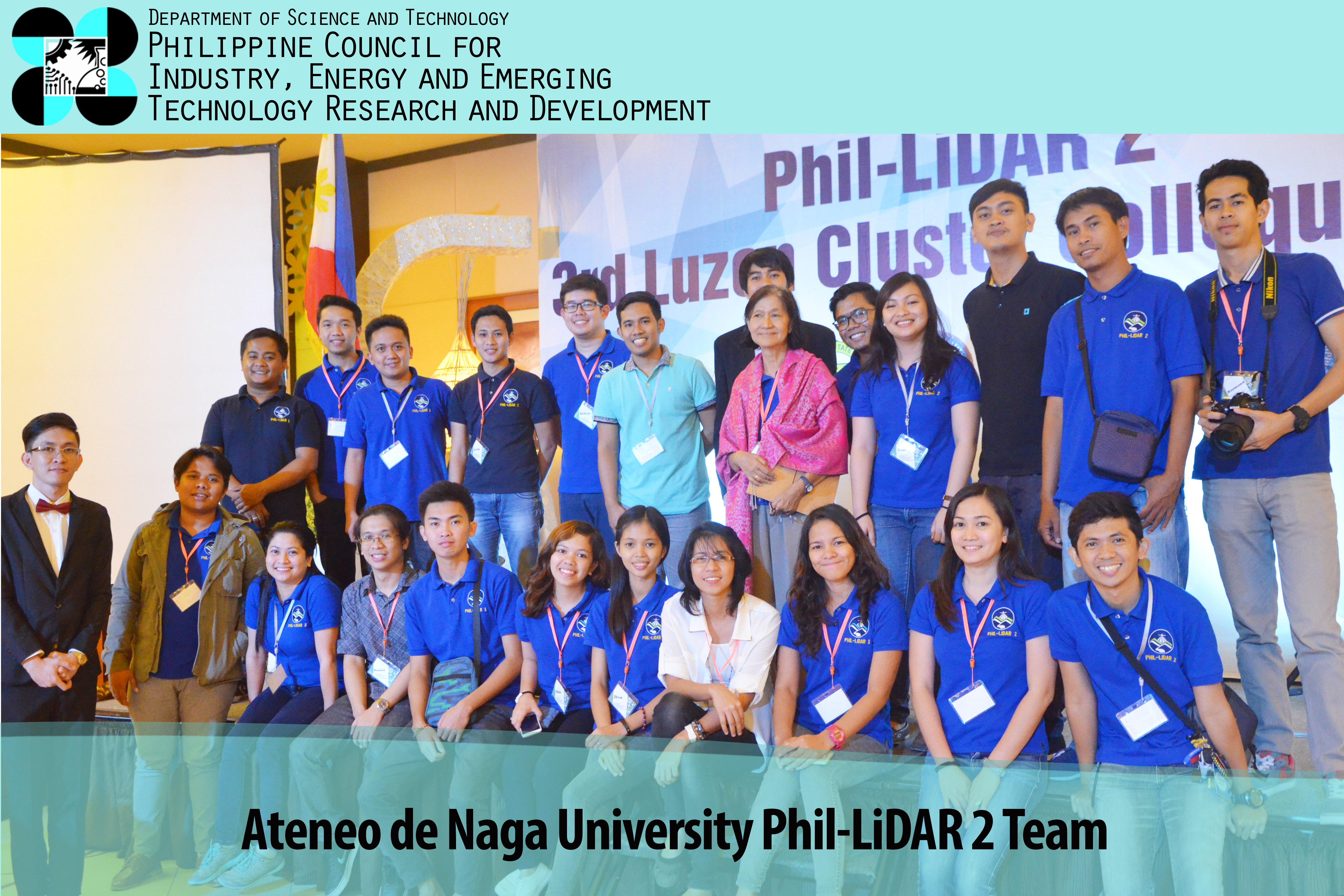
On its third year of implementation, the Phil-LiDAR 2 program also held its third Luzon Cluster Colloquium on March 9-11, 2015 in Naga City, Camarines Sur. This year’s colloquium was hosted by the Ateneo De Naga University Phil-LiDAR 2 team and attended by different Project Leaders and their research personnel from the participating Higher Education Institutions (HEIs) and State Universities and Colleges (SUCs) from Luzon.
The Phil-LiDAR 2 program is one of the offshoot projects of the Disaster Risk and Exposure Assessment for Mitigation (DREAM) program and was launched by the Department of Science and Technology (DOST) in 2014. It aims to map out the natural resources of the country particularly agriculture, coastal, forest and rivers, and potential areas for renewable energy production through the use of Light Detection and Ranging System (LiDAR). With the complexity associated in developing a nationwide resource mapping system, the participating HEIs and SUCs under the program were convened again to harmonize and share best practices among the different project components.
In his welcome remarks, Engr. Raul C. Sabularse, Deputy Executive Director of the Philippine Council for Industry, Energy and Emerging Technology Research and Development (PCIEERD) commended the output of the program. As of December 2015, 166 resource maps were produced (agricultural, coastal, forest, hydrological and renewable energy) and distributed to local government units and national government agencies. “I trust that with all these successes and accomplishments that you have achieved in the last two years, you will continue to give significant contributions to the communities and society in various aspects at the end of the program” Sabularse noted.
Dr. Ariel C. Blanco, program leader of Phil-LiDAR 2 also said in his message that this colloquium will give unique opportunities for the team because a training was done on the second day of the event. “I hope that during this capacity-building colloquium, we will increase the level of collaboration among the researches as well as the accuracy of our products” Blanco emphasized.
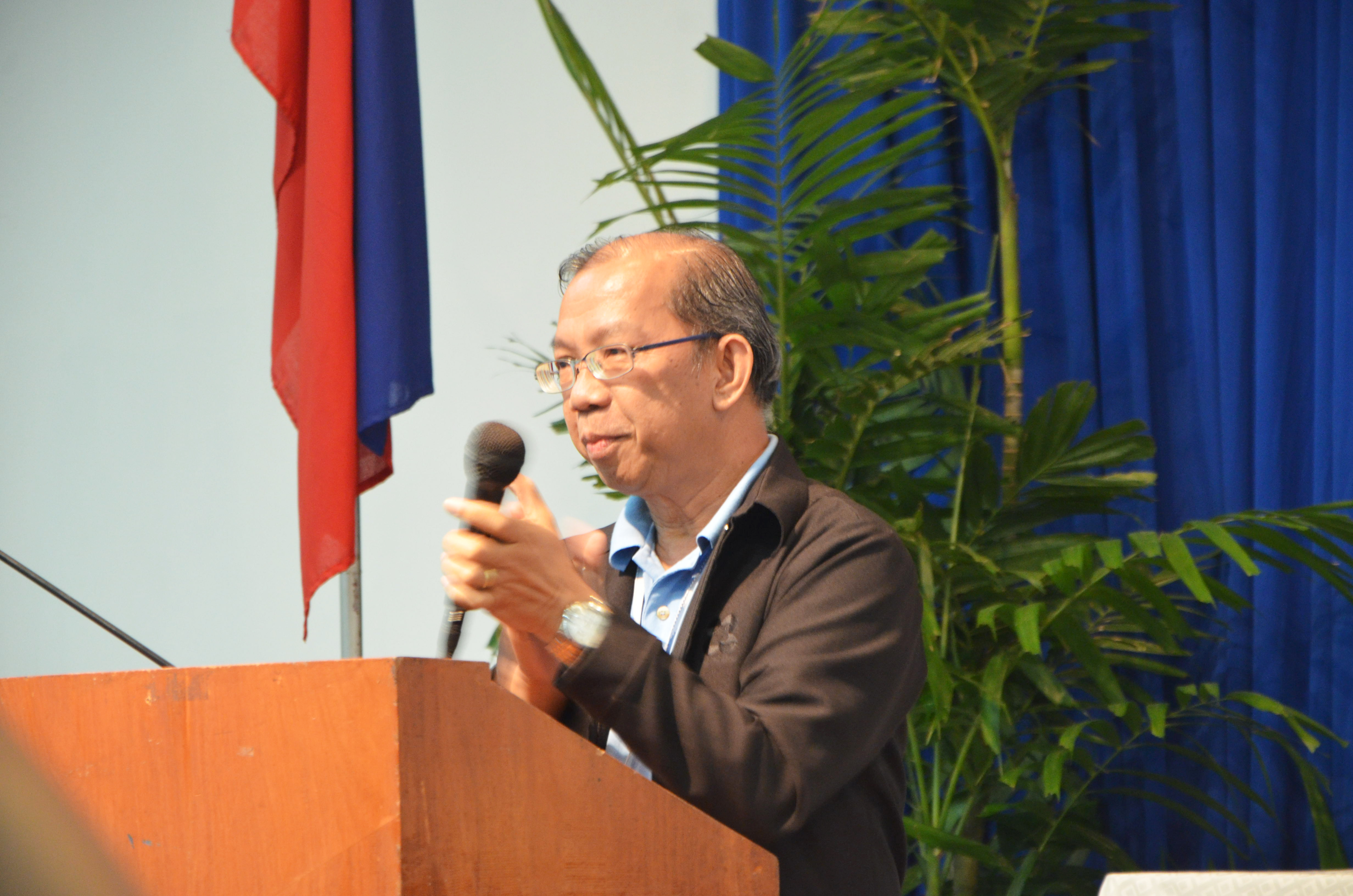
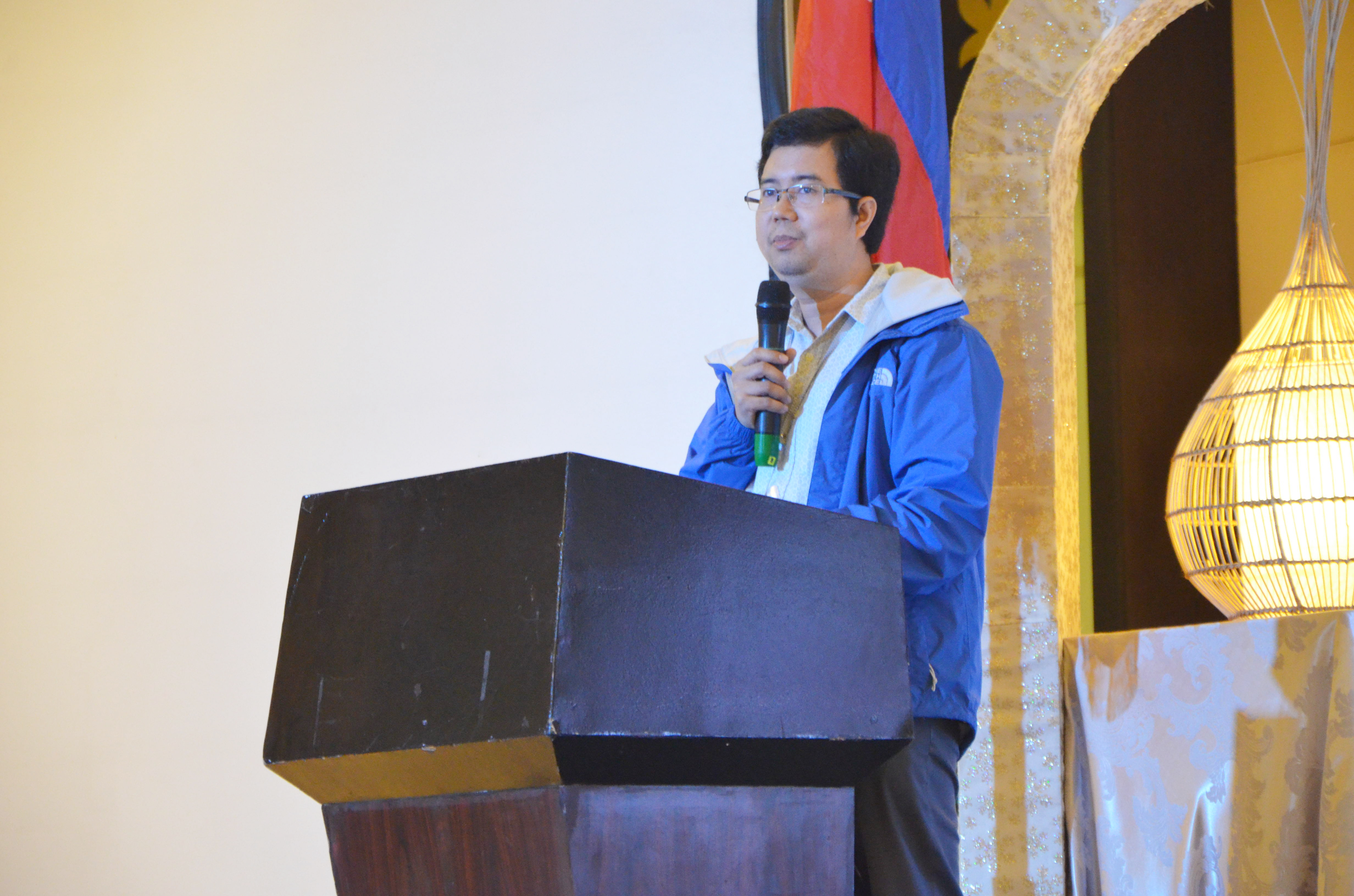
Engr. Raul C. Sabularse, Deputy Executive Director of PCIEERD and Dr. Ariel C. Blanco, program leader of Phil-LiDAR 2 while giving their messages to the participants of the colloquium.
On the first day of the colloquium, project presenters from seven HEIs in Luzon under the Phil-LiDAR 2 program delivered updates from their projects and shared practices as reference. The HEIs are as follows: University of the Philippines-Diliman, Mariano Marcos State University, University of the Philippines Los Baños, Isabela State University, Central Luzon State University, Mapua Institute of Technology, and Ateneo de Naga University. Some of the updates they shared were on the improvement of their workflows and methodologies in data processing and field validation surveys for each resource component. Mentoring and clarification regarding the problems encountered by each attending HEI were also tackled in the open forum.
During the second day of the colloquium, four parallel activities were held: UAV/GNSS Surveying, Spectrometry and Matlab training. All four events were simultaneously held at the ADNU campus.
In closing, participating HEIs representatives shared their insights and testimonials on the held two-day colloquium. “We are now in a critical milestone because the program is now on the nearing end. This colloquium gave us a venue to learn, improve, and benchmark with our partner HEIs to ensure that we will deliver the accurate output to our stakeholders” shared Lawrence David of Mapua Institute of Technology Phil-LiDAR 2 team.
The Phil-LiDAR 2 program is being monitored by PCIEERD and is funded by DOST.

