
A total of fifty-six (56) sets of flood hazard maps and resources maps were turned over to different Local Government Units (LGUs) and regional government agencies of Bicol region.
The Ateneo de Naga University (ADNU) Phil-LiDAR 1 & 2 team organized a data and map turnover ceremony at Villa Caceres, Naga City to formally hand over their research team’s output to its beneficiaries.
ADNU is one of the participating universities of the Phil-LiDAR Program which is an initiative of the Department of Science and Technology (DOST) that engages the University of the Philippines Diliman and fifteen (15) Higher Education Institutions (HEIs) throughout the country, with the aim to produce detailed flood hazard and resource maps using Light Detection and Ranging System or LiDAR technology.
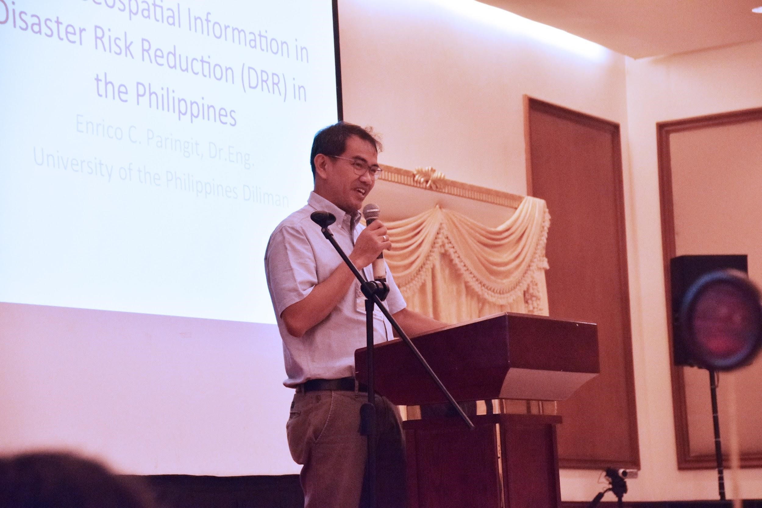
Dr. Enrico C. Paringit delivers his keynote speech.
Dr. Enrico C. Paringit, Phil-LIDAR 1 Program Leader, in his keynote speech, emphasized the importance of hazards maps to the LGUs. He said that the maps can be used in decision-making before, during, and after severe rain events. He highlighted that the use of these maps are important in response, intervention, and planning for cities and municipalities of the region.
Continuing the discussion, Engr. Mark Edwin Tupas introduced LIPAD to the participants. LiPAD serves as the primary data access and distribution center of the Phil-LiDAR 1 and Phil-LiDAR 2 Programs. The programs’ datasets such as the flood hazard and resource maps can easily be downloaded by the users in this portal.
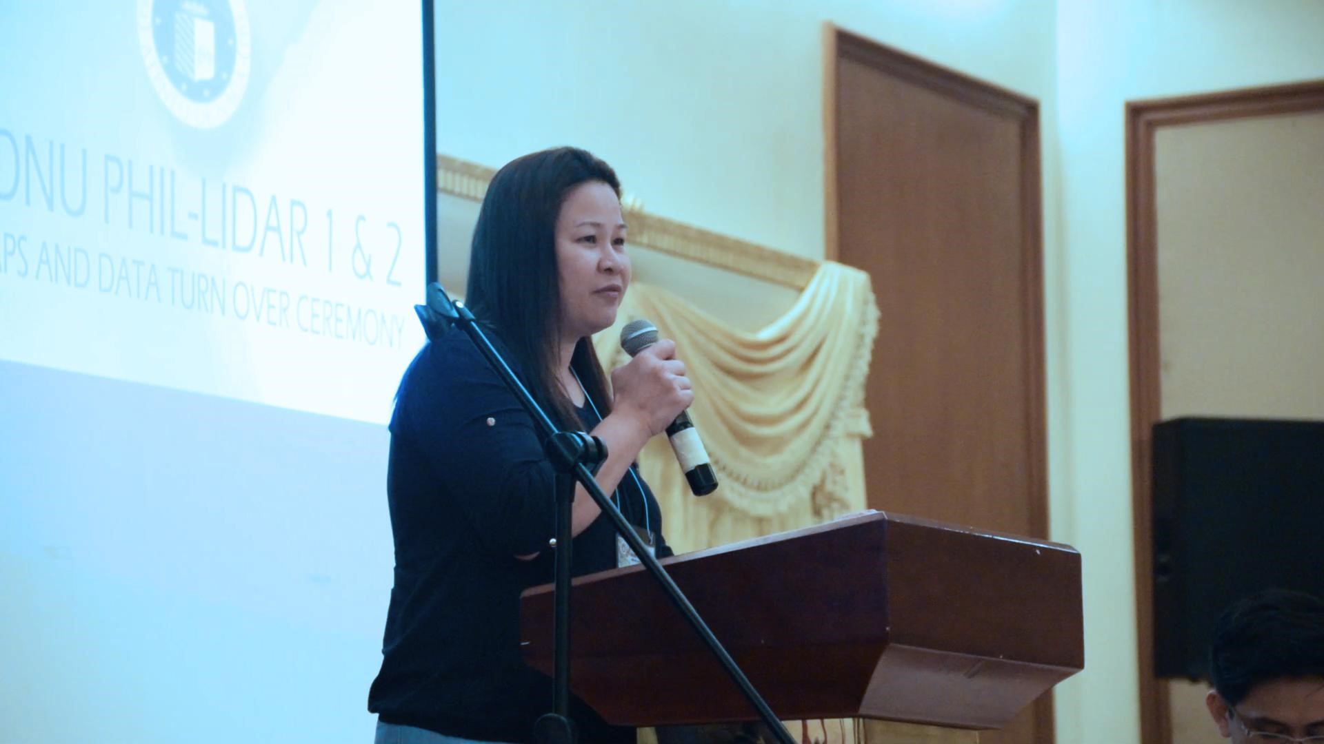
Mayor Carolyn Sy-Reyes, Mayor of Pilar, Sorsogon delivers her testimonial.
In her testimonial, Mayor Carolyn Sy-Reyes, Mayor of Pilar, Sorsogon, gave her appreciation to the ADNU and DOST for this initiative. She said that the maps that they have received will help their municipality in planning for their disaster management and risk reduction activities. These maps will also give hope to her constituents in times of emergencies and disasters, she noted.
Six (6) provinces received their LiDAR maps namely; Albay, Camarines Sur, Camarines Norte, Masbate, Sorsogon, and Catanduanes as well as regional government agencies such as; Bicol Consortium for Agriculture and Resources, Research and Development (BCARRD), Department of Agriculture Region V, Bureau of Fisheries and Aquatic Resources Region V and Environmental Management Bureau - DENR V.
The Phil-LiDAR program is managed and monitored by the Philippine Council for Industry, Energy and Emerging Technology Research and Development (PCIEERD), the Innovation Council.

